If you enjoy kayaking, boating, or angling, you’ve probably seen or used a fish finder with a built-in GPS. These devices do more than just show where the fish are—they also help you navigate, mark hot spots, track your route, and improve safety on the water. But how exactly does a GPS unit work within a fish finder?
In this article, we’ll explain how GPS functions, how it integrates with sonar, and why it’s essential for any serious angler or outdoor enthusiast.
What Is a Fish Finder with GPS?
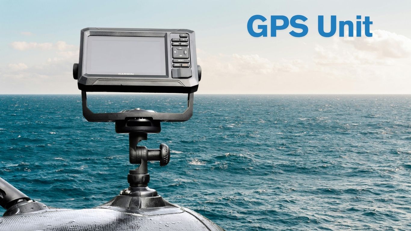
A fish finder with GPS is a combination of two technologies in one unit: sonar (used to detect fish and underwater structures) and GPS (used to track your location, speed, and direction). These two systems work together to give you real-time data not only about what’s beneath the water but also about where you are above it.
Most modern fish finders come with GPS functionality built-in. These units are popular on kayaks, fishing boats, and even small inflatable watercrafts, offering convenience and versatility without needing separate devices.
How Does the GPS Unit Work in a Fish Finder?
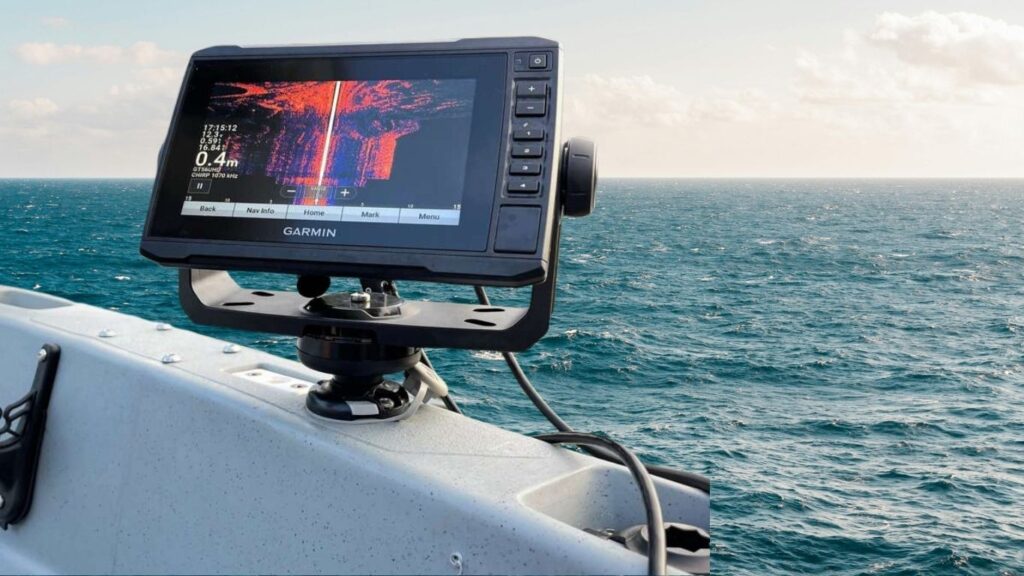
A GPS (Global Positioning System) unit works by receiving signals from a network of satellites orbiting Earth. These satellites constantly broadcast time-stamped location signals. Your fish finder’s GPS antenna picks up these signals from at least four satellites, calculates the time delay, and uses that data to determine your exact position on the globe—usually within a few meters.
Key Functions of the GPS Module
- Location Tracking
The GPS shows your current position on a digital map. You can see exactly where you are on a lake, river, or coastal area in real time. - Speed and Heading
It calculates your movement over ground, showing how fast you’re going and in what direction. This is especially useful for trolling or maneuvering in tight channels. - Waypoint Marking
You can save specific locations—called waypoints—such as a productive fishing spot, submerged structure, boat launch, or camp area. These points can be labeled and revisited later. - Route Mapping
The GPS tracks your route as you move. This trail, often called a “breadcrumb trail,” is helpful for retracing your path or navigating back to where you started. - Mapping and Chart Support
Many fish finders with GPS support detailed maps of lakes and coastlines, showing contours, depth changes, and navigational markers. Some even offer custom map creation based on sonar readings.
How GPS and Sonar Work Together
While GPS shows you where you are on the water, sonar shows you what’s underneath. In a fish finder with GPS, both systems complement each other. Here’s how:
- You locate a school of fish using sonar, then mark that exact spot using GPS waypoint.
- You view underwater terrain (such as ledges, drop-offs, or vegetation), and then save that location for future visits.
- You track how fast you’re moving while monitoring fish movement beneath your boat.
- When fishing a large area, you can use the breadcrumb trail to avoid fishing the same area twice or to scan new territory efficiently.
By combining underwater visuals with spatial awareness, GPS-enhanced fish finders dramatically increase your ability to locate, return to, and efficiently fish known productive zones.
Types of GPS in Fish Finders
Fish finders vary in GPS capability depending on their price, quality, and brand. Here are the common types:
Basic GPS Tracking
Entry-level models show your location on a blank grid. They allow basic waypoint saving but offer no map background or depth data.
Chartplotter GPS
Mid-range units include built-in maps or support for SD cards with marine charts. You can view lake depth contours, hazard zones, boat ramps, and more.
GPS with Mapping Software (SonarChart, C-Map, Navionics)
These high-end models allow custom map creation in real-time using sonar data. Some units let you log depth data and upload it to update your maps over time. Ideal for anglers exploring lesser-known or unmapped waters.
Advantages of a Fish Finder with GPS
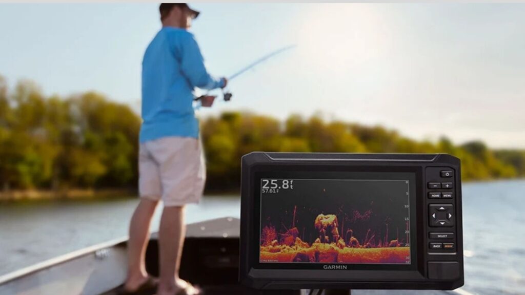
Combining GPS with sonar gives you significant advantages over using standalone devices. Here’s why it’s worth the investment:
Safety and Navigation
In foggy conditions, low light, or unfamiliar waters, GPS navigation helps you avoid getting lost. You can safely return to your launch point using saved routes or backtrack via breadcrumb trails.
Efficiency and Accuracy
No more guessing where you caught that big bass or located that rock pile. Marking waypoints lets you return to precise spots, saving time and effort.
Data Management
Many GPS units let you save and manage multiple waypoints, routes, and map overlays. You can plan future trips or analyze your fishing history.
Trolling and Drift Control
Using GPS speed readings, you can maintain consistent trolling speed or understand how fast you’re drifting in wind or current. This helps you adjust techniques like jigging or live bait presentation.
Common Features Found in GPS Fish Finders
Today’s GPS fish finders often include more than just positioning. Depending on the model, you may find:
- Touchscreen or button control
- Split-screen views (GPS and sonar side-by-side)
- Auto-routing features for safe navigation
- Tide and current data
- Wireless connectivity for updating maps or syncing with a phone app
- Live mapping using sonar logs
- Weather overlays (in networked or app-connected models)
Do You Need a GPS on Your Fish Finder?
For recreational anglers on small, familiar lakes, a GPS may seem unnecessary. But once you start venturing into larger bodies of water or want to remember your productive locations, a GPS becomes a game-changer.
GPS is especially beneficial if:
- You kayak fish in remote or large lakes
- You enjoy saltwater or coastal fishing
- You fish competitively and rely on data
- You want to build a map of a new body of water
- You prioritize safety and route tracking
Even casual paddlers can benefit from GPS for peace of mind and trip logging.
FAQs
Does a fish finder GPS need internet or mobile data?
No, it doesn’t. GPS in fish finders works by connecting to satellites, not through cellular or internet networks. This means you can navigate and mark locations even in remote areas without any Wi-Fi or mobile signal.
How accurate is GPS on a fish finder?
Most GPS fish finders provide accuracy within 3 to 5 meters under normal conditions. Higher-end models with satellite correction technologies like WAAS or EGNOS can narrow the accuracy down to 1 or 2 meters, which is great for pinpoint navigation.
Can I use a GPS fish finder on a kayak?
Yes, many fish finders are designed for kayak use. They’re lightweight, compact, and often waterproof, making them ideal for small boats. Some even have features tailored for kayakers, like simple mounts, portable batteries, and easy-to-read displays.
What’s the difference between internal and external GPS antennas?
Internal GPS antennas are built into the unit and work well in open-air conditions, like on kayaks. External antennas are separate components, offering better signal reception in obstructed environments, such as under a canopy or in larger boats with cabins.
Do I need special maps for my GPS fish finder?
Not always. Some units include preloaded maps with basic waterway data. However, for detailed depth contours, structure, and navigation, you may want to upgrade to premium charts like Navionics or C-MAP, often via an SD card slot.
Conclusion
A fish finder with GPS is more than just a screen—it’s a powerful combination of technology that enhances your fishing experience. GPS gives you the spatial awareness to explore confidently, mark locations precisely, and return to hot spots with ease. Whether you’re trolling, casting, or navigating tricky waters, understanding how GPS works in your fish finder gives you a serious advantage on the water.